
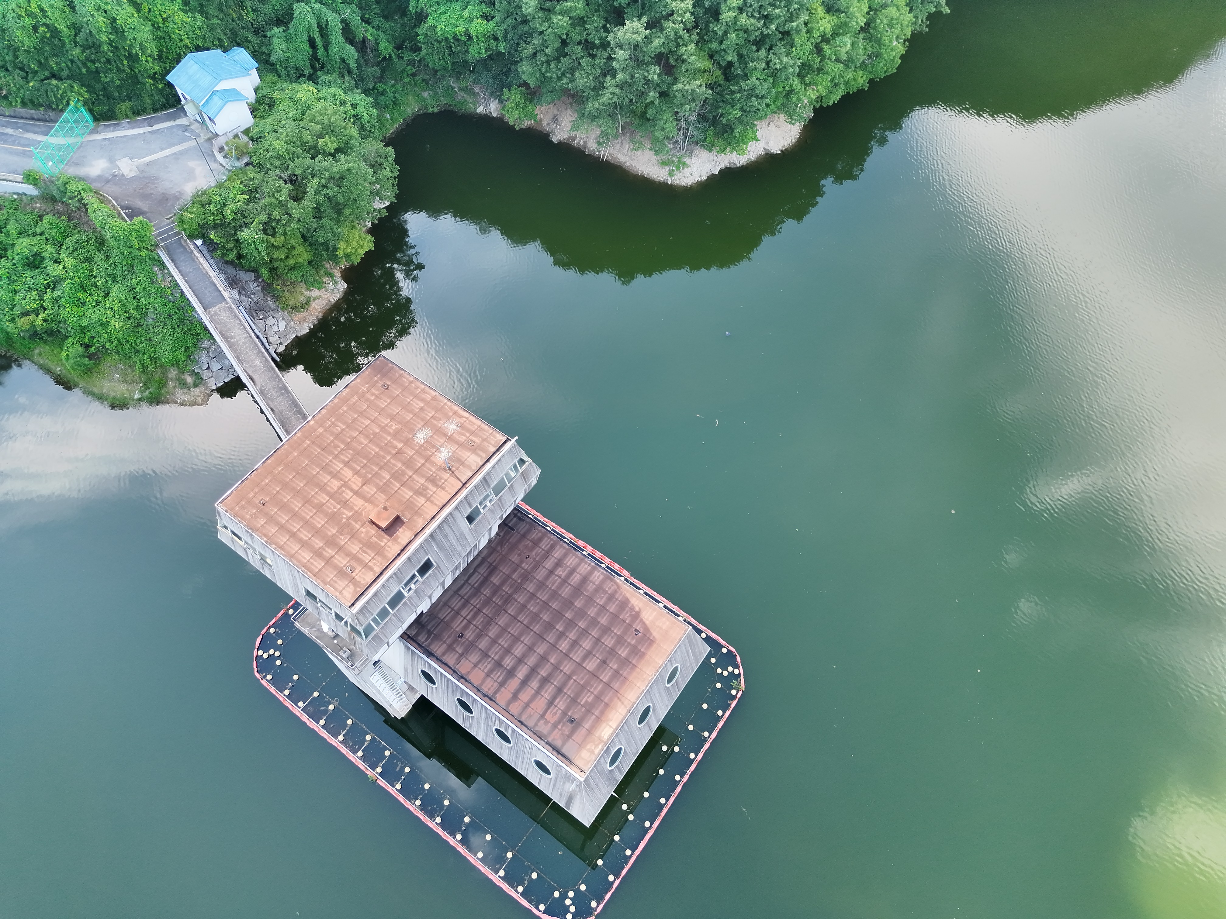
FIELD 01
Drone facility inspection
Precision drone inspection and 3D mapping of dam facilities
DRONE INDUSTRY SERVICE
INSPECTION / SURVEY
We provide precise data collection services ranging from inspections of buildings, power generation facilities, and electrical equipment to cadastral and civil engineering surveying, as well as disaster safety assessments.
Perform precise inspections of exterior wall cracks and damage in hard-to-access structures such as high-rise buildings, bridges, and plants.
Thermal imaging cameras are used to detect abnormalities in solar panels and damage to wind turbine blades.
Prevent safety accidents by inspecting power infrastructure such as high-voltage transmission lines and towers through close-range flights.
Provides land surveying, earthwork volume calculation, and status survey data through orthophotos and 3D mapping.
Rapidly capture and analyze hazardous sites such as landslides and collapse-prone areas to use as safety diagnostic data.
APPLICATION FIELD
Click to view the image larger.
FIELD 01
Precision drone inspection and 3D mapping of dam facilities
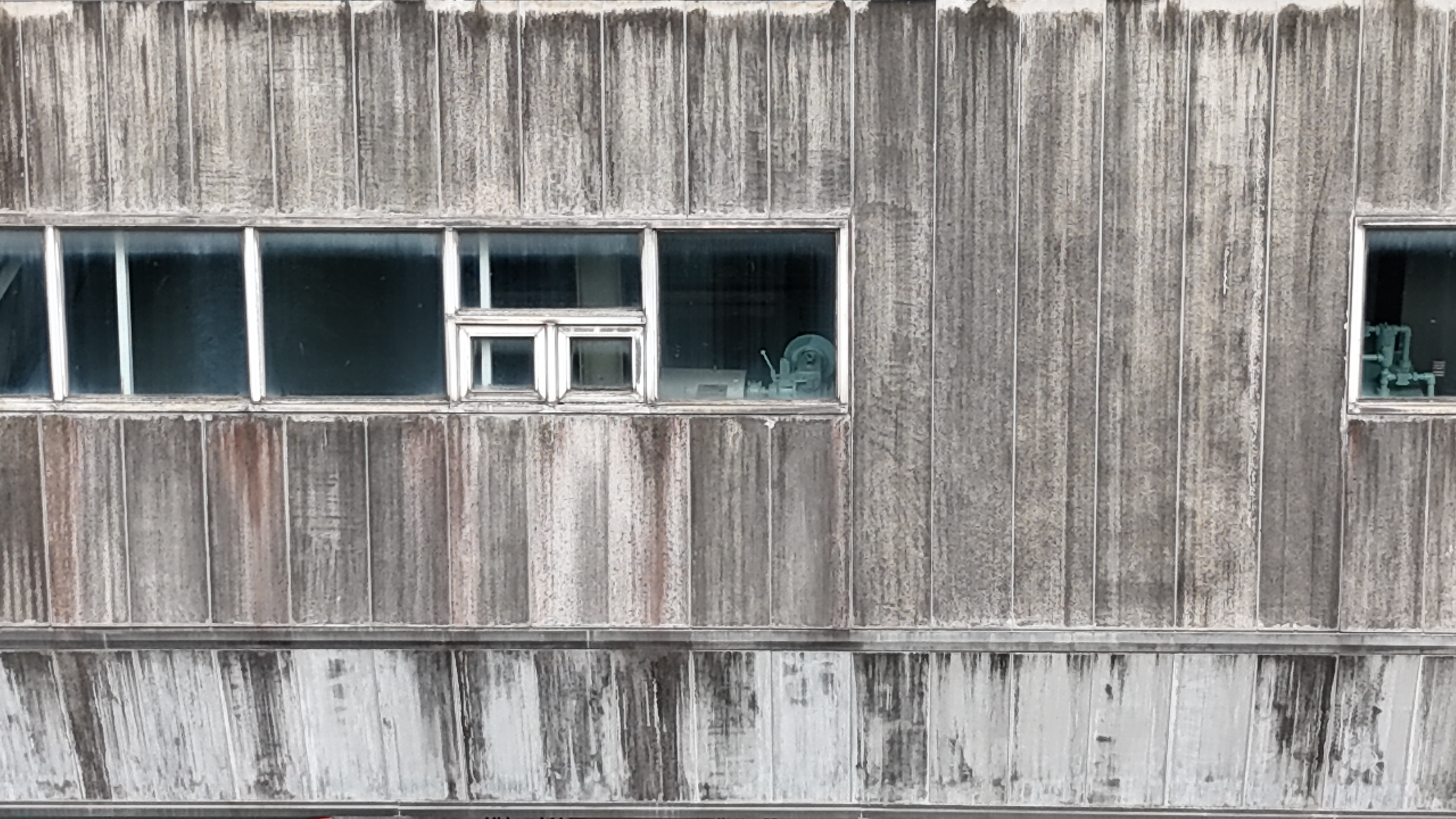
FIELD 02
Crack inspection of aging building exteriors
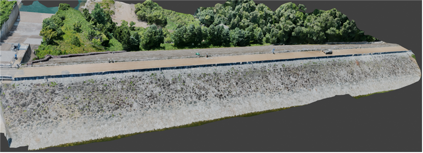
FIELD 03
3D modeling analysis of dam facilities
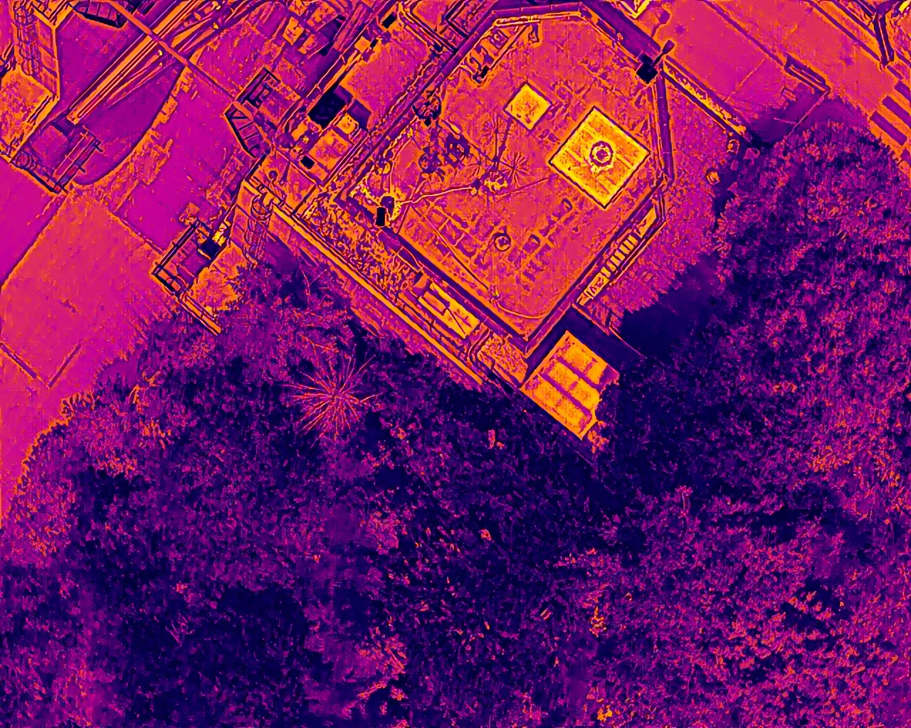
FIELD 04
Thermal inspection of the Gangseong-Hoengseong dam facilities